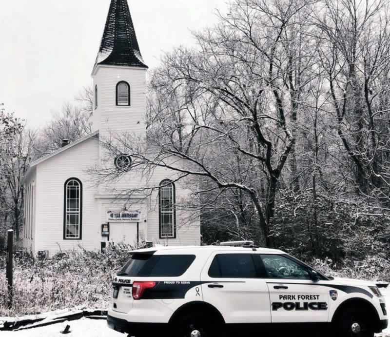


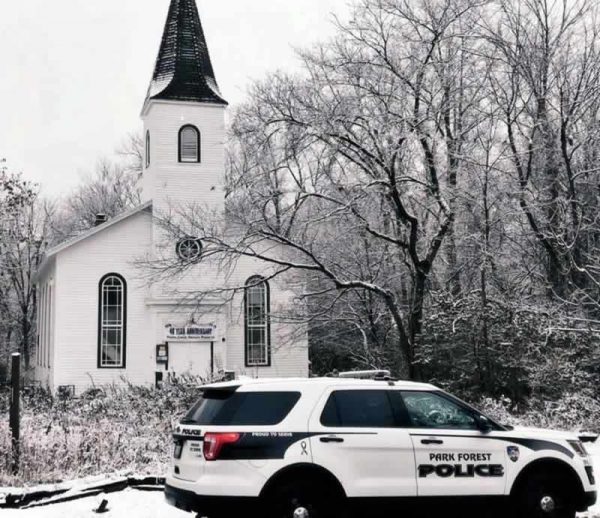
Park Forest, IL-(ENEWSPF)- Get your snow shovels ready and find your gloves. The National Weather Service has issued a winter storm warning for Park Forest in effect from Sunday, 10:00 AM CST until Monday, 4:00 AM CST. The severe weather alert is for northern Illinois.
The weather may not be as intense for Park Forest. Expect a high near 39. breezy conditions, with a northeast wind 5 to 10 mph increasing to 15 to 20 mph in the afternoon. Winds could gust as high as 30 mph. The chance of precipitation is 100%. New snow accumulation of less than a half inch is possible Sunday.
Sunday night, however, expect more for Park Forest. The National Weather Service is calling for rain and snow, becoming all snow after 9 p.m. The low will be around 27. Winds will be blustery, with a north northeast wind 20 to 25 mph, and gusts as high as 40 mph. The chance of precipitation is 100%.
New snow accumulation of 3 to 5 inches is possible in Park Forest.
The Illinois Department of Transportation is warning the public in a press release that a winter storm with the potential for up to 12 inches of snow in northern Illinois is anticipated to have a major impact on the last day of the Thanksgiving travel period. All motorists should plan accordingly for conditions to deteriorate throughout the day Sunday, with heavy snow, high winds, limited visibility and much longer travel times anticipated.
“This storm is expected to hit at a time when millions of people are on the roads, heading home after visiting friends and family,” said Illinois Transportation Secretary Randy Blankenhorn. “Please take all necessary precautions, including altering travel plans to leave early or asking yourself if your trip can wait. The IDOT snow-and-ice teams will be prepared, but the public should expect worsening driving conditions Sunday with travel becoming dangerous late in the day.”
The National Weather Service is predicting rain to begin falling early Sunday morning in the western part of the state before transitioning to snow by late morning. The primary area impacted will be from Quincy north to the Wisconsin state line.
As the day progresses and temperatures fall, the snow will intensify. The northwest third of the state should anticipate up to 12 inches, with the highest totals in Chicago’s western and northern suburbs. The forecast for central Illinois is for up to six inches of snow, with the heaviest snow north of Springfield.
Wind speeds up to 40 mph will persist into the night, causing drifting snow and blizzard conditions in open areas.
Motorists should expect slick roadways and be extra cautious when driving.
Winter Storm Driving Tips
If you encounter a plow during your travels, please slow down, increase your driving distance and remain patient.
Other tips if you have to travel:
- Take it slow, especially when approaching intersections, ramps, bridges and shady areas.
- Make sure your gas tank is full.
- Keep a cell phone, warm clothes, blankets, food, water, a first-aid kit, washer fluid, and an ice scraper in your vehicle.
- Check the forecast and make sure someone is aware of your travel route and schedule.
- Carry a cellphone and dial *999 in the Chicago area for roadway assistance in case of emergency. Reminder: Using handheld phones while driving is illegal in Illinois, unless it is an emergency situation.
- Always wear a seat belt, whether you’re sitting in the front seat or back seat. It’s the law.


